iAspirants
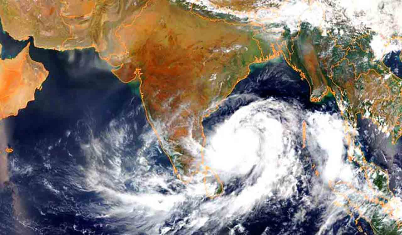
Odisha Prepares for Cyclone Arnab
Published on:
Source: The Hindu
Share this post

Article Summary
Summary of Cyclone Arnab Impact on Odisha (October 2026)
State of Emergency:
- Chief Minister Mohan Charan Majhi declared that 17 districts in Odisha were impacted by severe cyclonic storm Arnab, which originated from the Andhra Pradesh coast.
Rainfall Data:
- 17 blocks recorded average rainfall of 100 mm or more within 24 hours.
- Highest rainfall recorded:
- Pottangi block (Koraput district): 188 mm
- Mohana block (Gajapati district): 182.4 mm
- Rain gauge station Mahendragarh (Gajapati district): 25 cm.
Flood Warnings:
- Central Water Commission (CWC) warned of expected flooding in lower reaches of major rivers including Mahanadi, Brahmani, and others due to ongoing heavy rain.
Preparation Measures:
- State's objective is zero casualties; extensive preparations in place.
- 313 response teams deployed, inclusive of:
- 60 Odisha Disaster Rapid Action Force (ODRAF) teams.
- 9 National Disaster Response Force (NDRF) teams.
- Evacuation of 43,827 people to 634 relief camps across eight districts.
Health Precautions:
- Special arrangements for pregnant women, with 2,245 shifted to healthcare facilities; 931 births reported during evacuation.
Weather Forecast:
- Squally winds recorded at 40-50 km/h gusting to 60 km/h over southern Odisha; expected increase to 60-70 km/h with gusts up to 80 km/h in affected districts.
Key Districts at Risk:
- Significant rainfall and wind impacts predicted for Gajapati, Ganjam, Rayagada, Koraput, Nabarangpur, and Malkangiri.
Future Projections:
- Heavy to very heavy rainfall anticipated to continue; emergency services remain on high alert until the cyclone weakens post-October 29.
This summary encapsulates the critical response and ongoing situations due to Cyclone Arnab affecting Odisha, focusing on preparedness measures and immediate impacts.
Key Terms & Concepts
| Cyclone Arnab | Severe weather affecting Odisha |
| October 28, 2026 | Date of cyclone declaration |
| 17 districts | Regions affected by rainfall |
| Gajapati district | Worst-hit area |
| 100 mm | Average rainfall recorded |
| 188 mm | Highest rainfall in Pottangi |
| 313 response teams | Teams deployed for emergency |
| ODRAF and NDRF | Disaster response forces |
| 43,827 people | Evacuated residents |
| 634 relief camps | Shelters for evacuees |
| 2,245 pregnant women | Transferred to health centres |
| 40–50 kmph | Initial wind speed |
| 60–70 kmph |