iAspirants
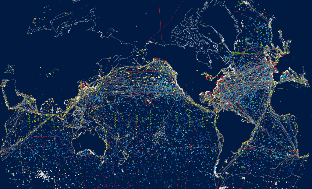
Expansion of National Ocean Observation Network
Published on:
Share this post
Article Summary
National Ocean Observation Network Enhancement
Overview: The Indian government has significantly strengthened the National Ocean Observation Network to enhance ocean monitoring and forecasting capabilities.
Key Components:
Ocean Observation Moorings:
- 19 subsurface moorings established (16 in the Exclusive Economic Zone (EEZ) and 3 in the equatorial Indian Ocean).
- Collects critical data for oceanographic model validation.
Tsunami Monitoring Network:
- Comprises 17 broadband seismic stations, 7 deep-sea tsunami buoys, 36 coastal tide gauges, 35 Global Navigation Satellite System (GNSS) receivers, and strong-motion accelerometers.
- Enhances early warning capabilities for tsunamis.
Coastal Observation Systems:
- Maintains a network of:
- 17 directional wave buoys,
- 20 Acoustic Doppler Current Profilers (ADCP),
- 32 Automatic Weather Stations (AWS),
- 2 water quality buoys,
- 50 tide gauges.
- Maintains a network of:
Deep-Sea and Autonomous Observation:
- Deployment of 302 Argo profiling floats (2014-2025), 12 deep-sea glider missions, 45 drifting buoys, and advanced ocean observation tools (e.g., Vertical Microstructure Profiler, Underway Conductivity-Temperature-Depth system).
Impact on Forecasting:
- The enhanced network provides high-quality real-time observations, improving the accuracy of monsoon and cyclone forecasts, and oceanic condition predictions.
- Data integration from various platforms through the Global Telecommunications System (GTS) into the Indian National Ocean Information Service (INCOIS) facilitates quality control and reduces forecast errors.
Recent Initiatives:
- Installation of 14 additional tide gauges and 15 co-located GNSS receivers to improve tsunami monitoring and coastal observations.
- Deployment of a directional wave buoy off the coast of Mauritius to enhance wave forecasting for northern Indian coastal waters.
- Regular research vessel trips before and after the monsoon to ensure deployment and maintenance of observation systems.
Statistical Improvements:
- Integration of real-time data has led to approximately a 43% improvement in wave forecasting accuracy compared to 2014.
- Coastal forecasting systems have achieved about 70% accuracy.
- INCOIS can issue tsunami warnings within a 10-minute timeframe following earthquake events, adhering to international standards.
Technological Framework:
- Real-time ocean observation data is assimilated into the INCOIS Global Ocean Data Assimilation System (INCOIS-GODS).
- This system provides initial oceanic conditions for coupled forecasting systems (CFS) used for seasonal and extended forecasts, as well as for cyclone prediction using the Hurricane Weather Research and Forecasting (HWRF) model.
Government Oversight:
- Information presented by Dr. Jitendra Singh, Minister of State for Earth Sciences, in the Lok Sabha.
Significance:
- Strengthening ocean observation capabilities is crucial for disaster preparedness, environmental monitoring, and enhancing the reliability of meteorological forecasts in India.
Key Terms & Concepts
| National Ocean Observation Network | Strengthened ocean monitoring system |
| Indian National Center for Ocean Information Services (INCOIS) | Manages ocean observation data |
| Argo Profiling Floats | Collects oceanographic data |
| Deep Ocean Glider Missions | Conducts deep sea research |
| Tsunami Early Warning System | Detects and warns of tsunamis |
| Global Navigation Satellite System (GNSS) | Provides positioning data |
| Wave Forecasting | Improves coastal prediction accuracy |
| Cyclone Forecasting | Enhances prediction capabilities |
| Numerical Weather Models | Used for weather predictions |
| Marine Observation Platforms | Collects real-time ocean data |
| Hydrodynamic Models | Simulates ocean conditions |
| Earth Sciences Minister |